
Transit Restructured
Transit Restructured
Transit Restructured
A team of designers redesigned the Pittsburgh Regional Transit wayfinding system.
Heehyeon Han — Design Direction, Motion
Minjee Jeong — Visual System
A team of designers redesigned the Pittsburgh Regional Transit wayfinding system.
Heehyeon Han — Design Direction, Motion
Minjee Jeong — Visual System
A team of designers redesigned the Pittsburgh Regional Transit wayfinding system.
Heehyeon Han — Design Direction, Motion
Minjee Jeong — Visual System
Design Systems
Design Systems
Design Systems
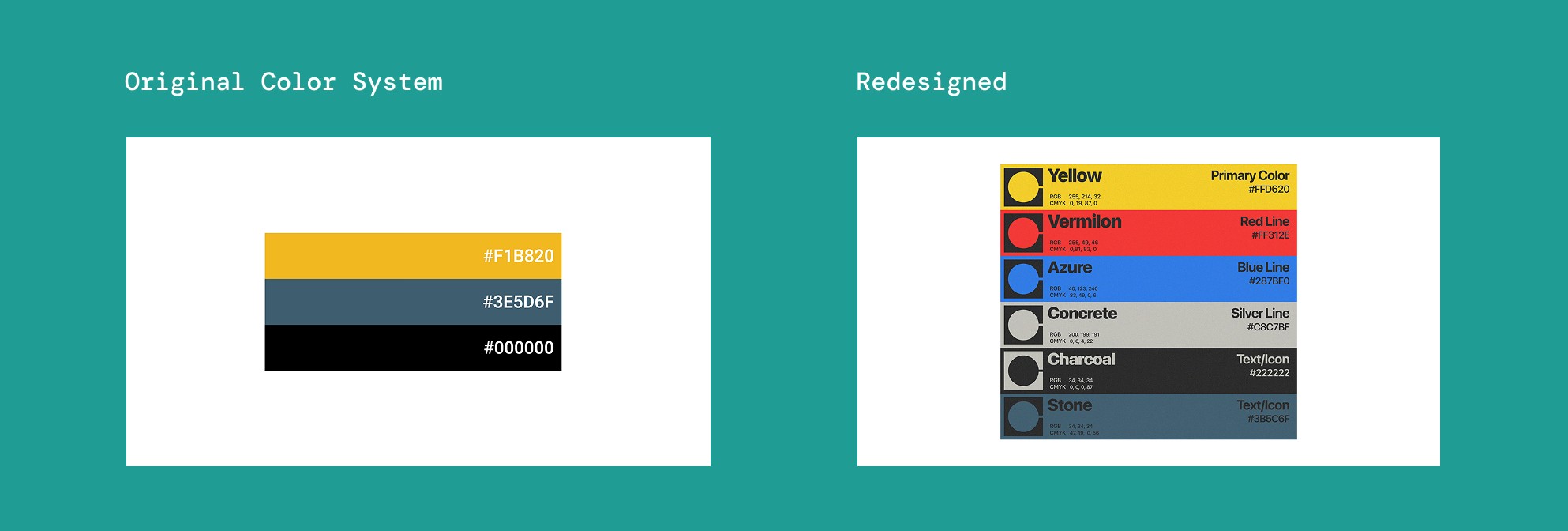
The existing transit system lacked a cohesive visual identity, making navigation feel fragmented. We established a unified visual language across logos, color, and iconography to create a clearer and more recognizable PRT identity.
The existing transit system lacked a cohesive visual identity, making navigation feel fragmented. We established a unified visual language across logos, color, and iconography to create a clearer and more recognizable PRT identity.


Signage
Signage
Signage
We applied the visual system across every level of signage, from icons to station environments.
We applied the visual system across every level of signage, from icons to station environments.

Wayfinding
Wayfinding
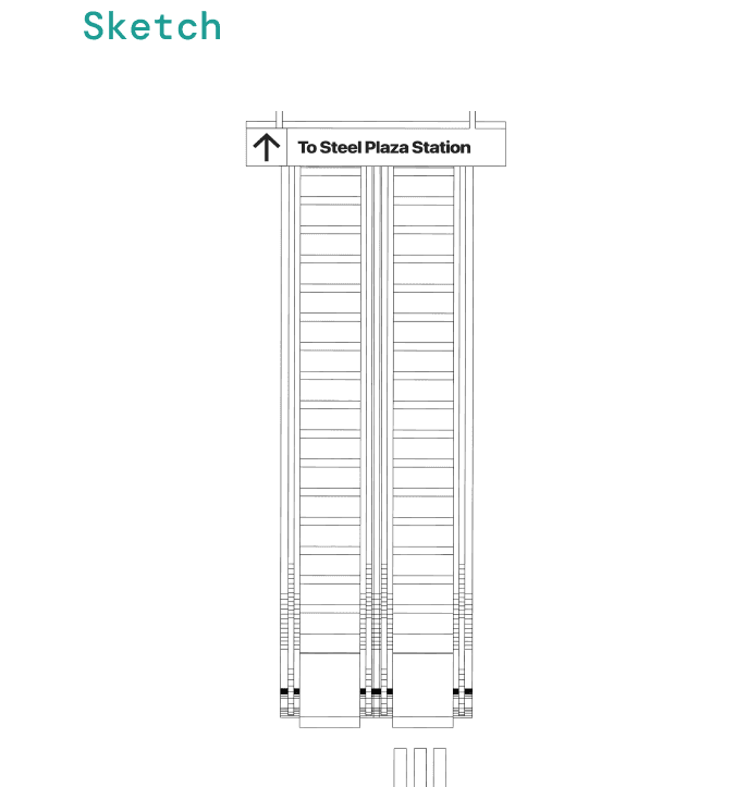
We extended the visual system into real station environments, developing wayfinding from early sketches to installation.
We extended the visual system into real station environments, developing wayfinding from early sketches to installation.




Physical Map
Physical Map
Physical Map
We reorganized the map's information hierarchy to make routes and connections easier to understand.
We reorganized the map's information hierarchy to make routes and connections easier to understand.


Virtual Map
Virtual Map
Virtual Map
We explored how AR could extend physical wayfinding into an interactive navigation experience. The video below illustrates this concept.
We explored how AR could extend physical wayfinding into an interactive navigation experience. The video below illustrates this concept.
Other projects


Other projects